Description
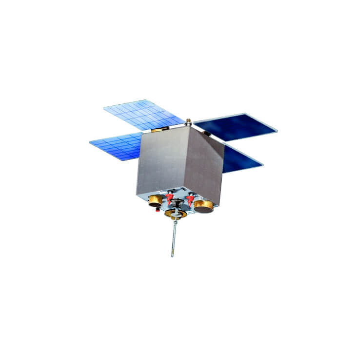
The satellite is designed for the Earth remote sensing in the visible, near and mid-infrared wavelengths, as well as monitoring parameters of the Earth’s ionosphere.
Application of the satellite:
- monitoring of natural resources conservation, technological and natural disasters;
- solving the problems of agriculture, land use, urban development, monitoring and evaluation of environmental pollution, the use of survey data for the production of digital maps;
- information support for senior military and political management;
- international cooperation in the sphere of the Earth remote sensing to address global and national issues through the exchange of satellite data;
- diagnostics of natural and man-caused disasters (including seismic);
- diagnostics of gaz-plasma and electrodynamic characteristics of geospace.

